Medieval shoreline
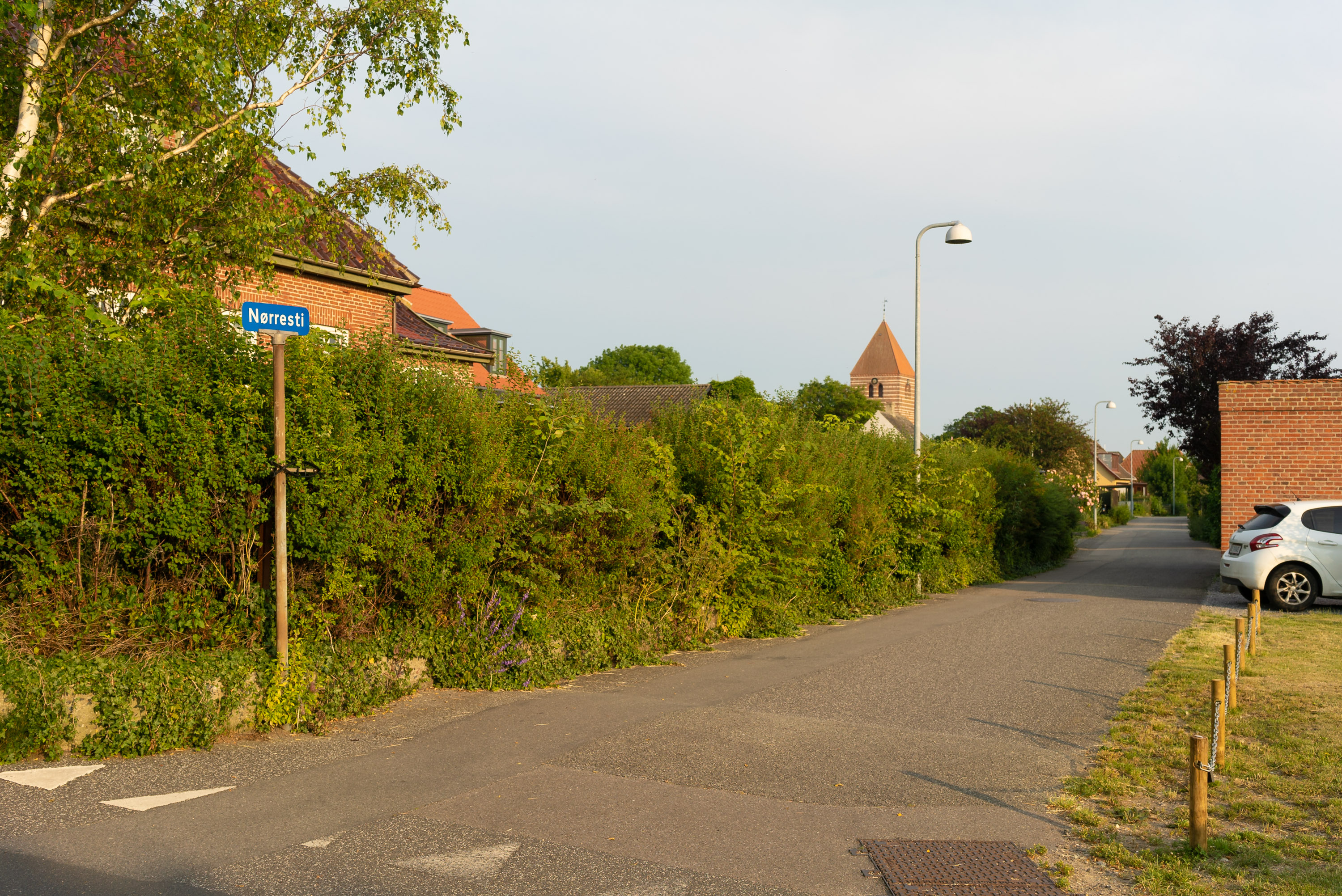
Now follow Nørresti, which is not marked on old maps, as this was where the shoreline went back in the Middle Ages. You will also notice that the houses on the right side are of significantly newer date. On your left side you will see those characteristic long, narrow plots which are typical for Stege. You built on a plot as narrow as possible to save tax, as you had to pay taxes in proportion to how many doors and windows the property displayed towards the street. The long area west of Langgade (and south of Storegade) also provided for a boat bridge at the shore.
Parallel with Nørresti runs Langgade (formerly Langestræde) which is the second oldest street in Stege. But before reaching this, you will meet the crossing street of Dybsbrostræde. Before going up this street, you can take a detour to the right and ‘walk straight on the medieval beach and even walk on the water’ according to the information sign about the medieval town on the quay next to the harbour café.