The Herring Route

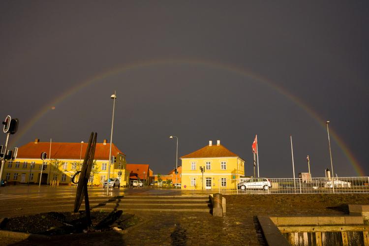
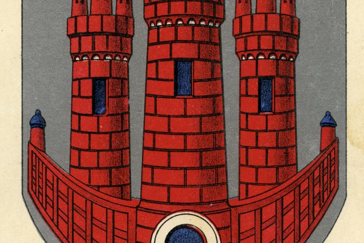
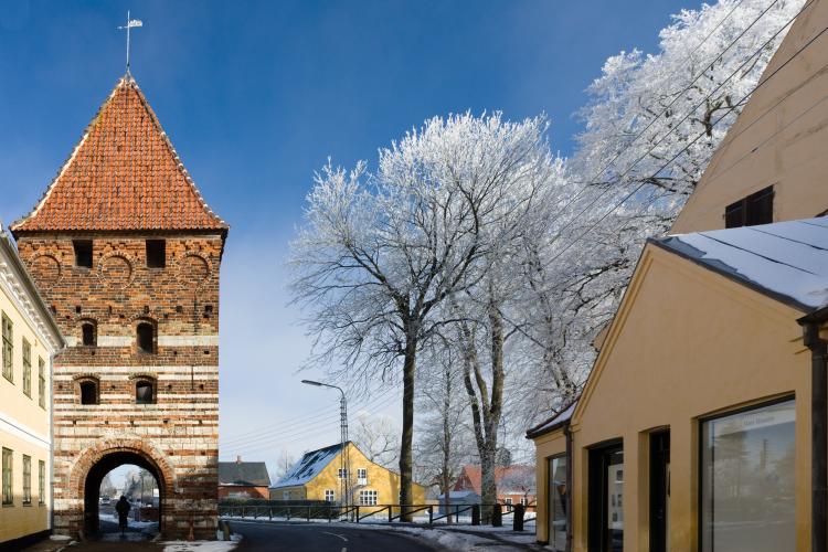
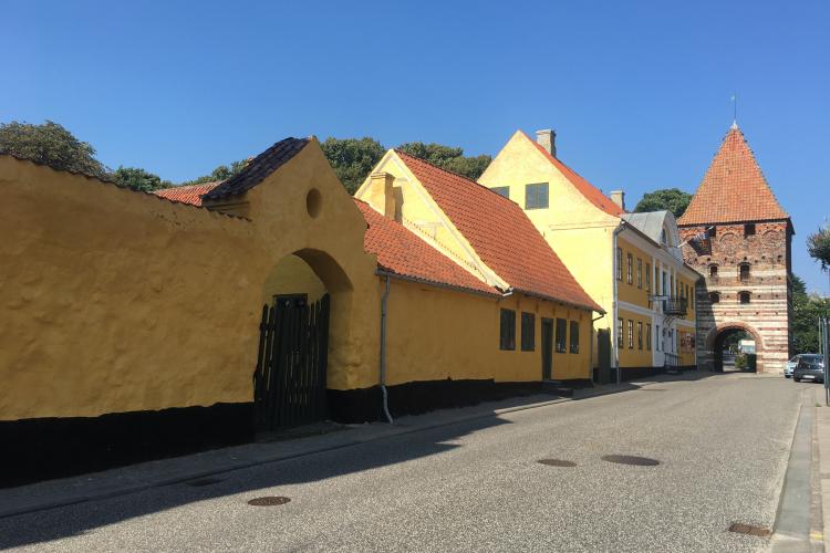
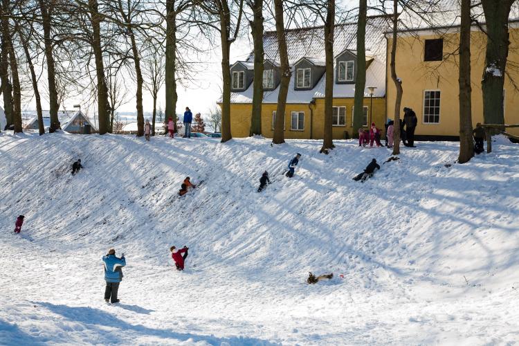
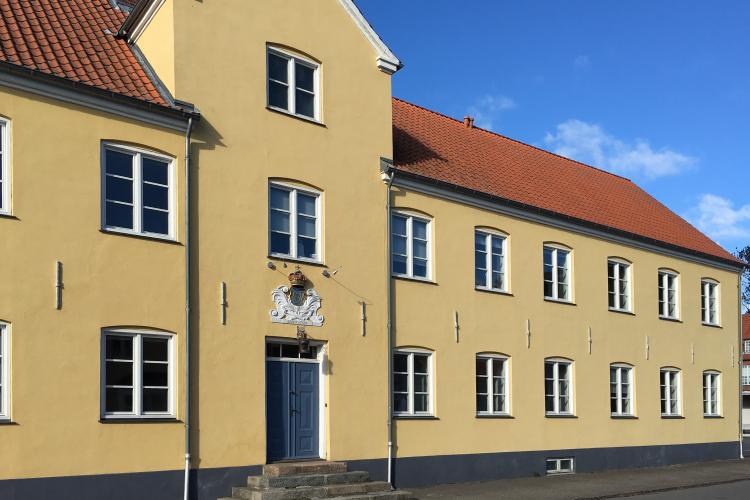
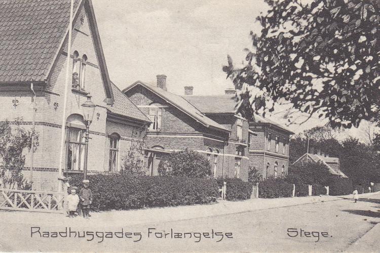
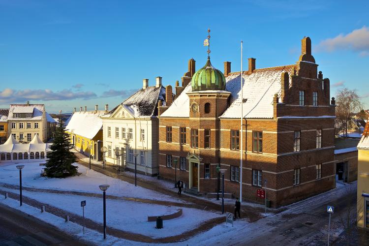
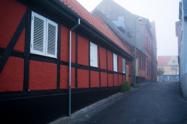
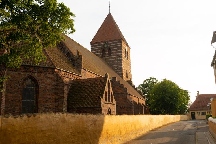
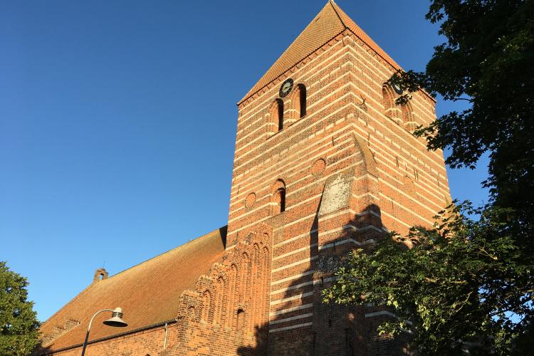
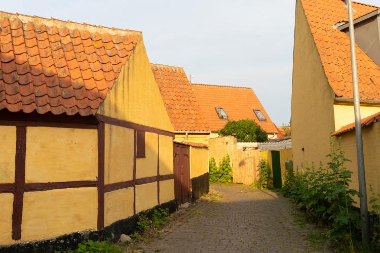
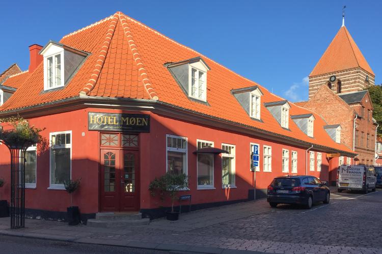
The town walk in the old Danish market town of Stege is called ‘the Herring Route‘. This is because Stege, in the Middle Ages from approximately  1430 – 1530,  reached its trading days of glory to an extent that has never been seen before or since. The heydays were very much a result of the herring fishing in the waters around Møn. The fishing resulted in an impressive presence at the markets in Skåne in 1494 where the stalls from Møn all together made up more than one third of all Denmark’s stalls. For this reason, the oldest coat of arms of Møn carries the image of a herring. Later, this was extended to depict three herrings in the final coat of arms of Møn. Therefore, symbols of herrings - 30 iron-cast herrings set on walls, balustrades, etc. – are set to guide our guests around Stege on a walk within the ramparts of our beautiful old town.

At the entrance to Stege Nor, remains of large stakes have been found which have probably been driven into the ground when Stege castle was built around 1200. Also, more tapered stakes with iron chains stretched between them have been found. This sea-blockade  is mentioned in Saxo’s  ‘Deeds of the Danes’ as the ‘Iron Block at Stikæ". This word means literally "stakes/ in the water driven” and has thus given the town the name Stege.

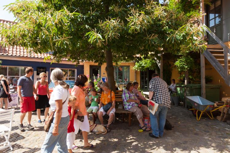
Welcome and enjoy your walk!

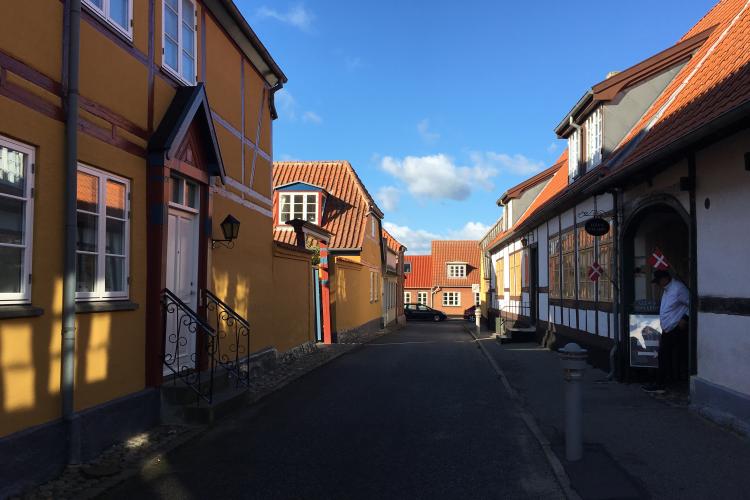
A historical walk around Stege

Old customs house

This distinctive building with its prominent position on the waterfront was built in 1848 by N.S.…

Stege Castle

In the years 1976-77 and again in 2000 archaeological excavations revealed remains of a significant…

Yellow warehouse, built in 1855

This warehouse was built in 1855 by merchant Anton Wulff. Back then, the merchant’s house consisted…

Rosengårdsstræde

When people from Western Møn went to Stege with commodities, they had to cross a bridge to get…

Sct. Knudsstræde

Sct. Knudsstræde, whose name arise from Saint Knud, who was a saint for all trade, leads directly to…

Apple Orchard and Sct. Gertrudskirke

Back when the castle was still standing, the garden that stretches from Søndersti to the large white…

Town gate and ramparts - a part of the fortifications from the 1400s

In the Middle Ages, Denmark was bristling with fortifications, several of them with moats, ramparts…

Merchant house built in the 1770s

The low half-timbered house situated at Storegade is the only preserved part of the original merchant…

Madam Bertelsen's house

Møllebrøndsstræde was formerly named Nørrestræde. It stretches today exactly as in the 17th century,…

The home Birkely

Now, cross Rådhusgade and continue on that part of the ramparts where the home ‘Birkely’ is located…

Built as a nautical school in 1703

Above the door, you will notice a nice plaque with Frederik IV’s monogram and the year 1703. In 1697…

End of ramparts at Stege Bay

On the left of the last part of the ramparts, lies a large, red brick building, which is now adapted…

Stege’s sea front

Continue left from the path of the ramparts on to Langelinie. Pass the Private Hospital and the…

Medieval shoreline

Now follow Nørresti, which is not marked on old maps, as this was where the shoreline went back in…

Stege’s oldest street

Now you are standing exactly where Stege in the 1100s originated as a small fishing village on the…

Dye Works Street

Farverstræde emerged as a narrow passage between the former Langestræde and the Stege main square…

Old merchant's house

Now, you are standing in one of Stege’s most significant merchant houses, which has spread over the…

Dragestræde, cattle road

This herring is located at Dragestræde no. 6, but before continuing right on to Rådhusgade, just take…

Rådhusgade

In the early Middle Ages, this street only led from the town’s main square and halfway towards the…

Old Town Hall

The stately house on the corner of Rådhusgade and the town square was designed by one of Denmark’s…

The Geese Square – the place for buying and selling birds and fowl

If you have chosen the short walking route, you have not yet seen Mølleporten and the old gate for…

Southern side of Storegade

Now, from Gåsetorvet you have to walk back along with the equal house numbers of Storegade. The first…

Merchant´s house, bank and municipal administration

Here at the corner of Storegade and Sct. Knudsstræde, a large merchant’s house was built. In 1784,…

Fog's House, old merchant house

For many years, the Fog’s house and courtyard belonged to the merchant Carøe. Here, a grocery store…

Torvestræde, old street with its original name

Torvestræde – i.e the street at the square - has existed all the way back to Stege’s earliest times…

Sct. Hans Church, Parish community centre and medieval garden

You could write several books about Morten Reenberg who gave his name to this house and court. Very…

Møn’s only inhabited medieval house

Det nord/syd vendte hus, der går fra Kirkepladsen og ud til Provstestræde, blev bygget i 1400-tallet…

Provstestræde, Old street with a distinctive course

Provstestræde was originally just a modest and narrow passage along the church wall. It is, with its…

Store Kirkestræde and Hotel Møen

Store- and Lille Kirkestræde (i.e little and greater church street) formed, together with a stretch…

Luffes gård

Of course, the walk has to end in an old merchant's courtyard! Here, you can certainly feel the life…

Lendmarke – the industrial town

When standing at herring no. 1 - at the tourist office / House of Møn - and looking south west across…